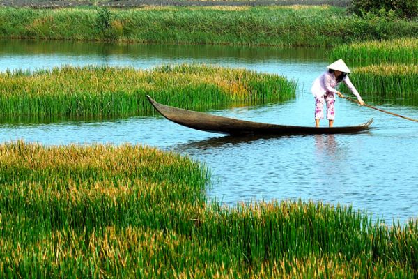
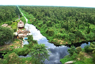
The average rainfall is 2.500mm, 90% of which is distributed among the 6 months of rainy season. The average humidity is around 80% in dry season and 85% in rainy season. Cam Mau rarely suffers from storms and floods. With is dense rivers and canals system, Ca Mau is home to well-known forests: U Minh forest and Nam Can forest.
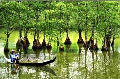
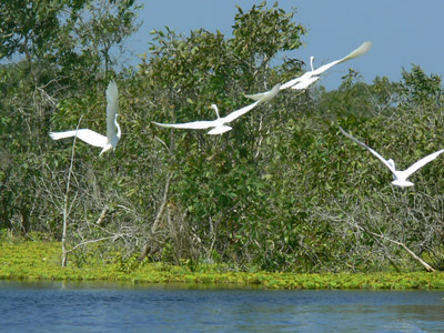
U Minh forest is considered as the place where has the highest biomass value in comparison with forest forms, with about 250 varieties of plants, mainly cajuputs grown everywhere, more than 180 bird species, and over 20 reptile species... The scenes of U Minh forest are also the location and the consequence of variation process from geologic and tectonic activities.
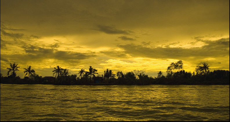
Sunset in Ca mau
(84-63) 3 826042 – (84-63) 3 511142
No 54 Nguyen Dinh Chieu, Ham Tien Central Mui Ne Beach Binh Thuan Vietnam
523 To Hien Thanh District 10 Ho Chi Minh City Vietnam
Ha Long Halong City Quang Ninh Vietnam
A13 Hung Thong 2 Halong City Quang Ninh Vietnam


 Tags:
Tags: The cape of Ca Mau, An attractive destination in the Can Gio Biosphere Reserve, Vam Sat Eco-Tourist Site. You also can visit our sites: Location & Geography, Climate, Holidays, Vietnamese People.

.jpg)