Published: 17:26 Wednesday - May 26, 2010
Ca Mau Cape is located at Vietnam’s southernmost point, about 120km from Ca Mau city. It takes about 2.5 hours from Ca Mau city to Ca Mau Cape by high-speed boat.
Ca Mau Cape is the only place on the Vietnamese mainland where tourists can see the sun rising in the East Sea and setting in the West Sea. Ca Mau Cape is often described as an arch. Every year, it is consolidated by Mekong river’s alluvium so as to extend into the sea from 80 to 100 meters, with the area estimated at hundreds of hectares.
From Ca Mau Cape, tourists can see the Hon Khoai islands in the sea, about 20km from the mainland, which includes Tuong Islet (Hòn Tượng), Sao Islet (Hòn Sao), Kho Islet (Hòn Khô), Lon Islet (Hòn Lớn), Doi Moi Islet (Hòn Đồi Mồi). The biggest and highest islet is Khoai Islet (Hòn Khoai), which is about 4km2 wide and reaches its highest point at 318m high, where the important lighthouse of the East Sea belonging to Thai Lan Bay is situated.
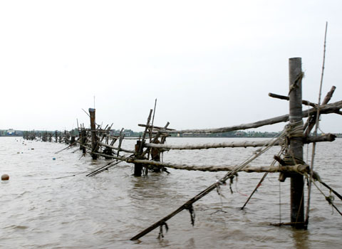
Hon Khoai has many sources of fresh water and often supplies thousands of fishing boats. The specialties of the alluvial grounds of Mui Cape are the blood arca and hair arca. Residents catch arca when the tide is low.
Mui Cape is also considered to be a sacred land by the Vietnamese, all of whom desire to visit once in their lifetime. It has a diversified and plentiful ecosystem of mangrove forests. Coming to the tourist area at Ca Mau Cape, travelers can visit the national coordinate landmark, contemplate the forest and sea, and also go sightseeing in the zone where a forest village during the resistance war has been reconstructed. Visitors also take photographs at the foot of Ca Mau Cape’s symbol.
 |
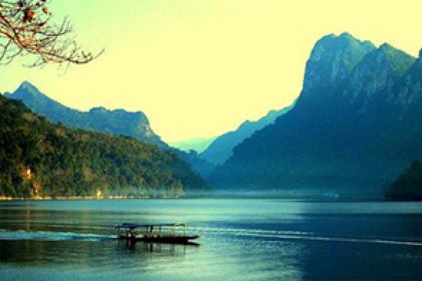
Ca Mau Cape is over 100km from Ca Mau city, where boats are the major means of transport. |
 |
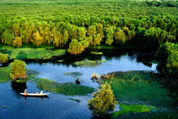
Ca Mau Cape is an arch, with alluvial grounds made by alluvium from rivers. Mam trees are the most popular trees in this area. |
 |
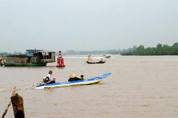
Residents’ lives are closely connected with water. |
 |
Visitors come to Ca Mau Cape to enjoy the feeling of walking on the country’s tip. |
 |
 |
Forests hundreds of kilometers long spread a green overcoat over Ca Mau Cape. |
 |
The symbol of Ca Mau. |
 |
 |
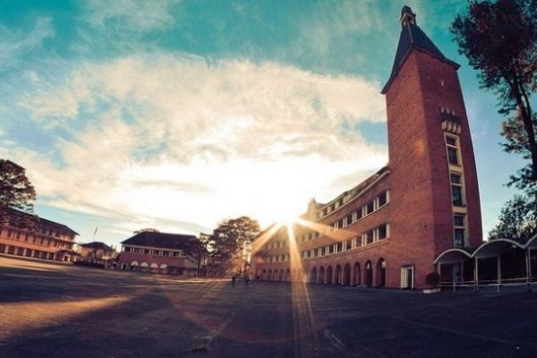
From Vong Canh tower, visitors can see the last strip of land of Vietnam. |


(84-63) 3 826042 – (84-63) 3 511142
No 54 Nguyen Dinh Chieu, Ham Tien Central Mui Ne Beach Binh Thuan Vietnam
523 To Hien Thanh District 10 Ho Chi Minh City Vietnam
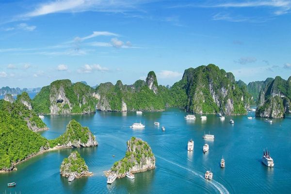
Ha Long Halong City Quang Ninh Vietnam
A13 Hung Thong 2 Halong City Quang Ninh Vietnam


 Tags:
Tags: Ca Mau Cape marks edge of Vietnam, Spanish magazine spotlights Vietnam cave, Vietnam Catholic Church’s jubilee year 2010 closes. You also can visit our sites: Vietnam news, Vietnam in photos, Travel Guide, Vietnam Cuisine, Attractions.